Where to launch your kayak, where to take out, and best way to shuttle back?
Our recent kayak trip down Crystal River in Michigan was awesome, but we had to figure out a lot of logistics on our own. Surprisingly there wasn’t much information online about where to start (put in our kayak), where to end (take out), and how best to shuttle. If you’re looking for an answer to this question, we’ll have it here.
- Launch spot – Crystal River Trail Head – GPS – 44.900399, -85.955021
- Take out spot – Pull out spot across from Northwoods Filling Station – 6249 River Rd Glen Arbor, MI 49636 – GPS – 44.899440, -85.980787
- Shuttle Info – Best way to shuttle back to your car is to leave a bike at the take out spot.
- Note: 1.7 mile bike ride between launch and take out spot.
Drive by the take out spot before your float and leave a bike. There is a sign post near some park benches at river edge. You can lock it just a few steps away from where you will pick up and load your kayak. There isn’t much parking at take out, so best to leave a bike at the end and then go launch and park at the Crystal River Trail head.
It was raining the day we did our research so Crystal River Outfitters was all but closed. I spoke to a kid at the counter, but they don’t have maps (except for the one taped to the counter) and they really just want to rent you a boat. Perfect place to rent though; right on the river and they handle everything.
We use a Sevylor inflatable kayak, which we carry in the belly of our 5th wheel, and works great for calm rivers, ocean, and lakes. Crystal River is really just a slow float and great for beginners and tubers. It’s mostly sandy bottom and just one to two feet deep in most places, at high mark. At low levels, it’s going to be very shallow and will require some “scooting” to get through.
It runs super slow so easy to maneuver, but there are a lot of fallen trees you have to negotiate. There’s only two portage’s, three if you don’t “shoot the tube“. One in the beginning (5 minutes in) and one at the end. The tube is just a 50′ culvert sloped down about 7 degrees and a very easy slow ride under the road and down to the next section of river. Duck down, fold in paddles and let the water do the work.
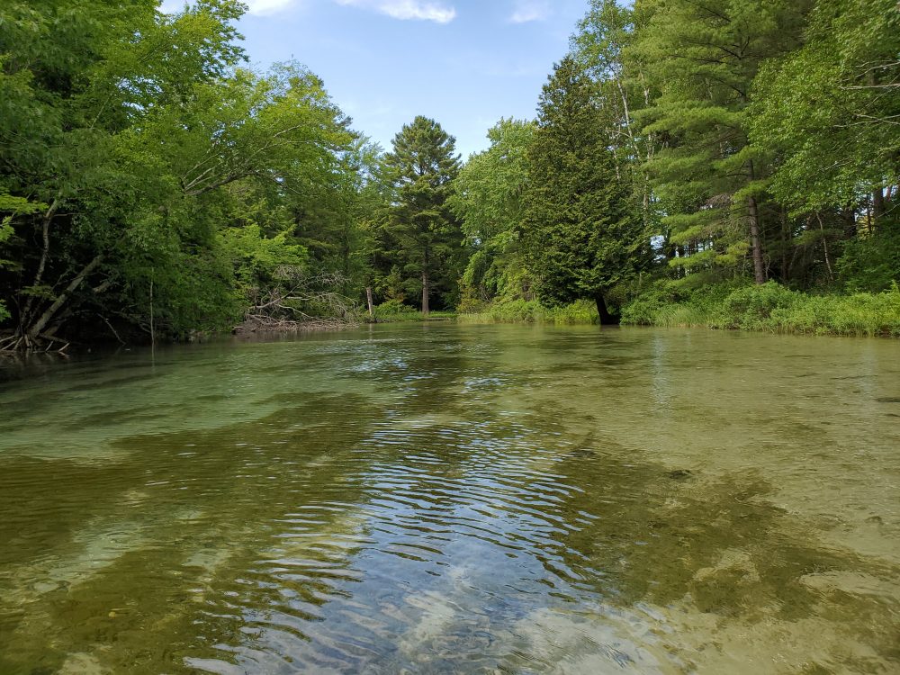
Bring a camera because it’s a very pretty float. You’ll see a lot of fish (brookies mostly), and some wildlife if you’re looking hard. The water is crystal clear, cold in early season and just right after June. Figure about 2.5 hours and about 6 miles total, so food and drink is a good idea.
We camped at Lake Leelanau RV Park a perfect location to explore Traverse City, Sleeping Bear Dunes, and surrounding areas. What a cool area to visit, and our river trip was a perfect way to spend the day in Glen Arbor.


